
Find Zanesville Addresses by Street
The first pass through Zanesville starts with the physical address, not a surname. The Muskingum County Auditor accepts an address, an owner, or a parcel number, making it the practical starting point for a Zanesville street directory trail. Confirm that the returned situs and legal description match the property being studied. A parcel is a mapped unit of land. In Zanesville, its legal description can hold steady even when street labels or numbers cause confusion in an older source.
Ownership and occupancy are different facts. Zanesville title records can identify a recorded owner and document a transfer, while historical directories or defined public records may offer a separate date-specific clue. The official Ohio voter tool is not a public street browse. It requires a first name, last name, and county before it can return an individual registration, precinct, or polling-location result.
- Enter the Zanesville street address in the Muskingum County Auditor property search and confirm the parcel or legal description.
- Use the City GIS resources to place the Zanesville parcel in its ward, zoning, service, or historic-map context.
- Follow the confirmed owner into the Recorder index, carrying the legal description with the address.
- For a known individual only, use Ohio My Voter Information with first name, last name, and Muskingum County. Do not treat it as a Zanesville street list.
- For an older Zanesville address, check whether a specific reverse or criss-cross directory edition is available through John McIntire Library or another documented collection.
Note: A match in one Zanesville record is a lead to verify, not proof that every person connected with an address lives there now.
Zanesville Street Directory Record Coverage
Zanesville address research moves across several custodians. The Auditor and Treasurer supply parcel or tax leads. The Muskingum County Recorder preserves the title and map documents that connect a parcel to earlier descriptions. City departments hold spatial and project records. Each source answers a narrower question, which keeps a Zanesville by-address search from turning a property clue into an unsupported claim about a household.
| Address record | Zanesville-area keeper | What it can establish | Access path |
|---|---|---|---|
| Parcel and tax account | Muskingum County Auditor or Treasurer | Address, parcel, owner search lead, valuation or tax context | Auditor or Treasurer property search; counter contact |
| Deed, mortgage, lien, or plat | Muskingum County Recorder | Recorded ownership sequence, legal description, subdivision or street history | Public index, Historical Indexes, counter, mail, or phone |
| GIS, ward, zoning, utility, and historic map | Zanesville Engineering and GIS | Mapped parcel and city-service context | City GIS applications and maps |
| Permit, inspection, code, or enforcement file | Zanesville Building & Code Enforcement | Defined project, condition, or application at a date | Written public-record request or office contact |
| Voter registration lookup | Ohio Secretary of State and Muskingum Board of Elections | Individual registration, precinct, and polling-location route | Name plus county lookup; board request for defined records |
| Historic directories and newspapers | John McIntire Library and documented collections | Date-specific name-to-address or notice evidence | Library, microfilm, and collection access |
A Zanesville street directory is strongest when the table is used as a chain: map the parcel, keep the legal description, then use the document class and date that fit the question. Court and city files may name a party or applicant, but neither is a complete resident list.
Zanesville Street Parcel Search Fields
The local property-search form has one verified search label, rather than a menu of confirmed advanced filters. That limitation matters. Enter a Zanesville street number and name first, then use a parcel number if the address does not resolve. Owner-name searching is a useful lead, but the returned situs and legal description must be checked before treating the result as the intended Zanesville property.
| Official field | Type | Required marker | Verified use |
|---|---|---|---|
| parcel, owner, or address | Combined text property search | No visible marker | Parcel identifier, owner name, or street address |
The Auditor landing page did not expose the current parcel-card field labels or the live advanced controls during research. Inspect a Zanesville result before describing any owner mailing address, exemption, transfer table, value field, sketch, or legal-description display as a live screen element. A mailing address is correspondence information. In Zanesville, it is not proof that the owner occupies the parcel.
Zanesville Street Maps and GIS Context
Zanesville uses more than one map route. The City GIS Applications & Maps page links the City GIS Map, City Services Finder, City Utility Map, Historic Map Viewer, Parcel Query, flood map, and interactive zoning map. City Services Finder is the documented path for services, wards, and zoning by address. The Utility Map is described as the advanced viewer with GIS layers, while Parcel Query supplies city-limits parcel-value insight rather than a people search.
See the City Utility Map before relying on a mapped Zanesville parcel.
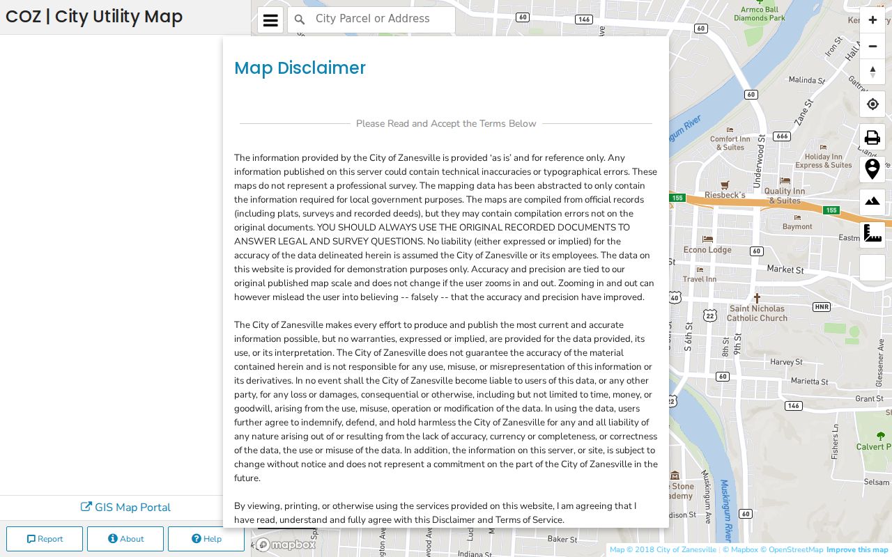
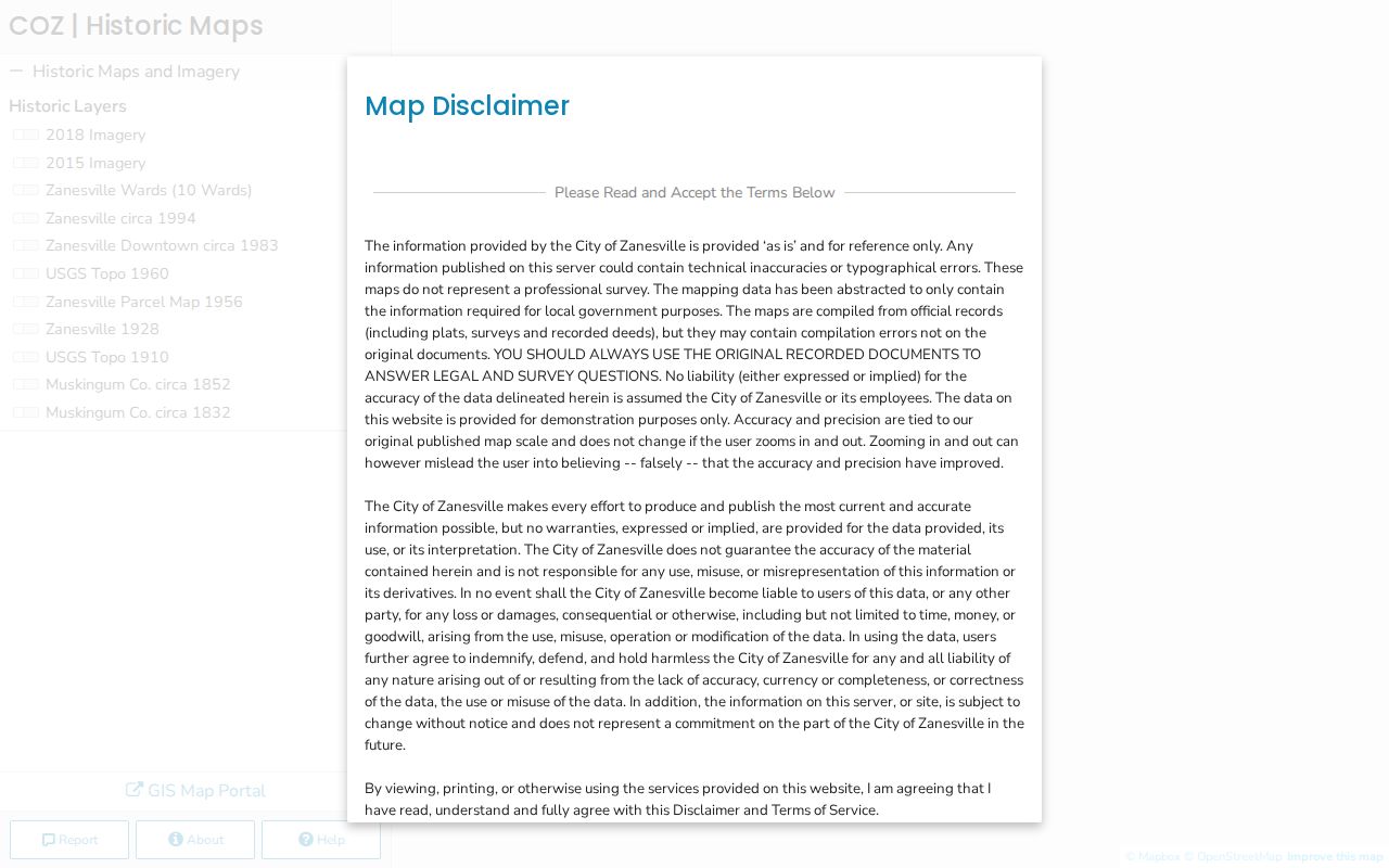
Its own disclaimer says the data are abstracted from plats, surveys, and recorded deeds, so original records control legal or survey questions.
The City did not document live click, buffer, selection, or identify controls in the reviewed materials. Use Zanesville GIS for geographic context, then verify Zanesville owner and title facts with the Auditor and Recorder. The City GIS Applications & Maps page is the starting menu for those distinct Zanesville tools.
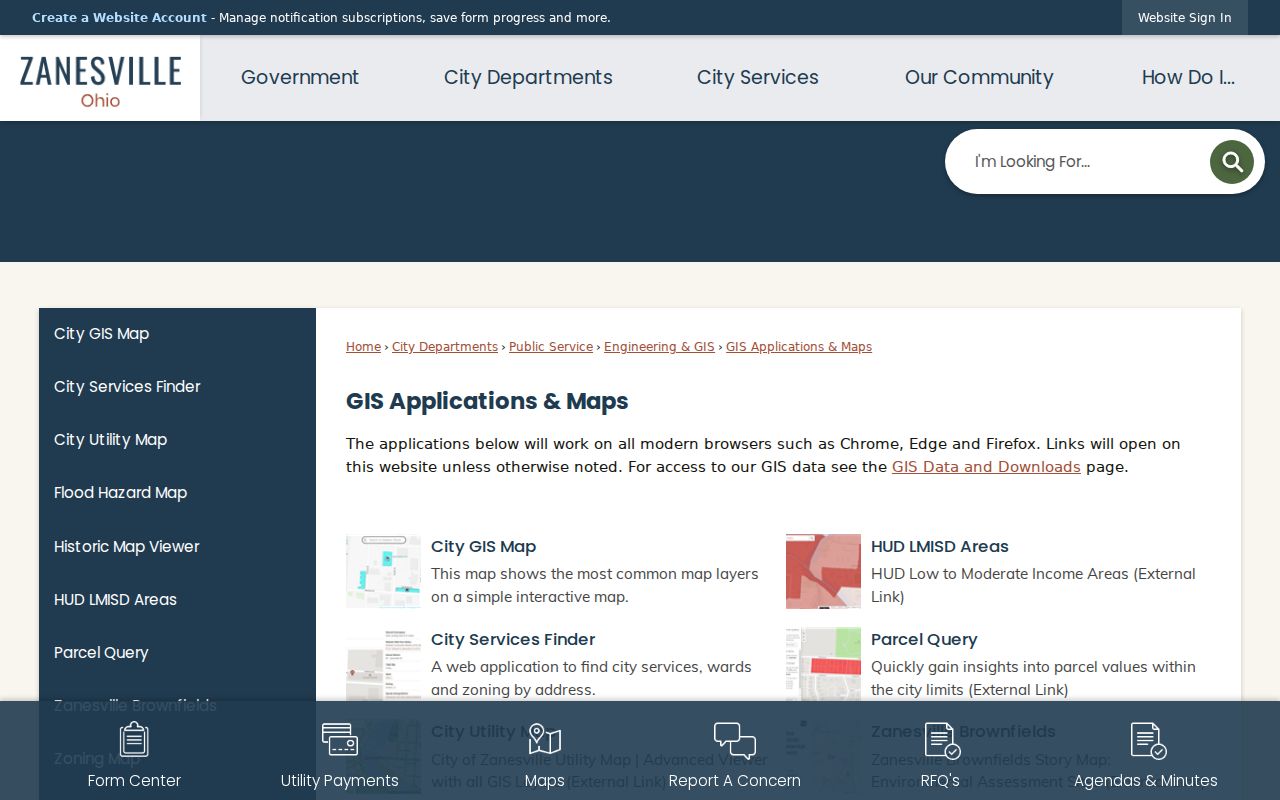
The separate map choices are useful because a ward, a zoning layer, and a parcel boundary answer different Zanesville address questions.
Zanesville Street Numbers at Y Bridge
Zanesville’s address system has a local baseline that can make a simple street-number comparison misleading. The municipal code assigns numbering to the Director of Public Service and places the City Number Map in that office. In general, numbers advance one per 16.5 feet and 100 per block. East-side east-west streets begin at the east end of Y Bridge, while west-side east-west streets begin on the west bank or farthest point from Main Street.
Odd and even sides also change with the direction and side of the city. North-south Zanesville streets begin from Main Street, with odd numbers west and even numbers east. That is a useful orientation rule, not a substitute for the City Number Map. When an old directory, plat, or deed conflicts with a modern Zanesville number, preserve the legal description and compare the historic map rather than forcing a match.
Note: Zanesville’s documented numbering rules explain how to test an address, but irregular and new streets receive special treatment under the municipal code.
Zanesville Street Recorder Index Dates
The Muskingum County Recorder holds a broad Zanesville address trail, including deeds, plats, annexations, alley and street vacations, centerline surveys, street-name changes, liens, mortgages, and zoning records. Holdings date to 1803, but the online index does not begin at one universal date. The Recorder reports electronic starts of 1977 for deeds, 1976 for mortgages, 1975 for liens and miscellaneous records, 1981 for leases, 1965 for military discharges, 1800 for plats, and 1993 for UCCs.
For material earlier than the class-specific online start, the Recorder directs researchers to its Historical Indexes tab and OIB Training Sheet. The office began directing older work there in 2011. This is the key Zanesville street directory fallback: a pre-1977 deed is not automatically absent, and a historic plat may have a much earlier electronic start than a deed. The public system is updated daily Monday through Friday after disclaimer acceptance, but it is not certified or authenticated.
Use the Muskingum County Recorder at 401 Main Street, or call 740-455-7107, when the historical index cannot complete a Zanesville title chain. Certified copies require a counter, written-mail, or phone request with advance payment. The published recording fees are not verified copy fees for Zanesville research.
Zanesville Street Deeds by Legal Description
Once an address is matched to a parcel, Zanesville deed research follows the land rather than the appearance of a street label. Find the current owner’s acquisition as a grantee, retain the instrument reference and legal description, then identify the seller. Search that seller as grantee to locate the preceding acquisition. A grantor conveys an interest; a grantee receives one. Those roles make the recorded title sequence easier to follow in Zanesville when the street number has changed.
The County GIS metadata offers a useful crosswalk. Its parcel service includes parcel number, legal description, plat book and page, location address, listed name, deed volume and page, conveyance date, and links toward Auditor, Treasurer, Recorder, tax-map, and scan resources. The fields are parcel and document information, not a household layer. Zanesville address research should keep the parcel ID beside the deed reference at every step.
View the Muskingum County address GIS service for the documented Zanesville address components.
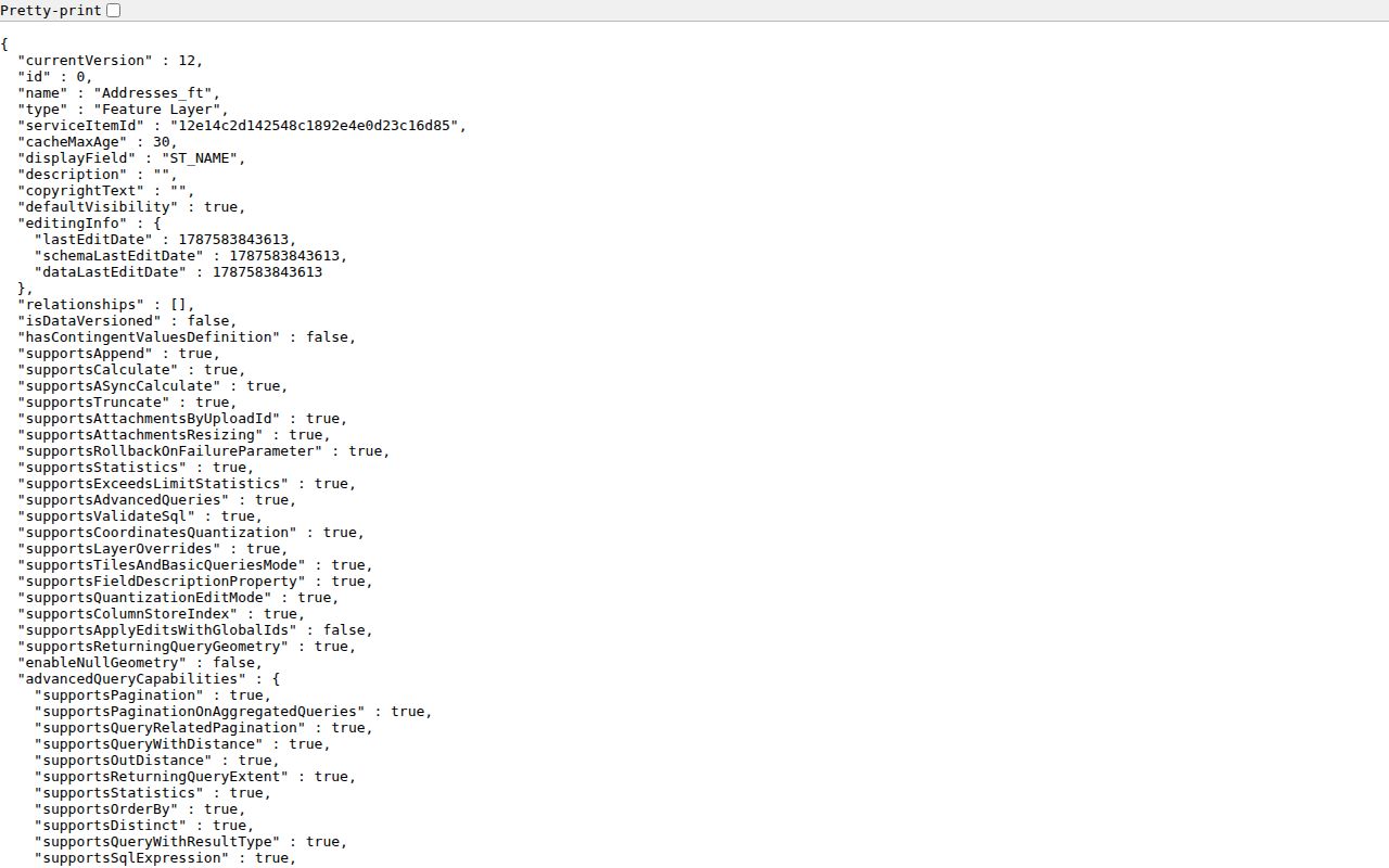
The service includes geographic fields such as house number, street components, municipality, ZIP, ward, precinct, and polling location, but it is not a list of people.
Zanesville Street Evidence Beyond Title
For a Zanesville address, Building & Code Enforcement can hold a different kind of date trail. The Zanesville office issues permits and maintains enforcement, condemned-property, consultation, and form routes. Its documented forms cover alterations, new construction, demolition, street cuts, vacant property, drainage, and related work. Those files may identify a project, date, owner, contractor, applicant, or condition. They do not establish a complete list of people at the address.
No official online Zanesville permit or code-case search was located. The documented fallback is a written public-record request to Building & Code Enforcement, 401 Market Street, Room 227, 740-617-4890. Give the address, approximate date range, record type, and whether inspection or copies are preferred. City code requires retention of several project records, although the retention period can depend on the document.
Use the Zanesville Building & Code Enforcement page to identify the local request route.
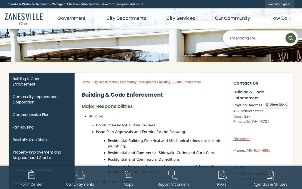
Project documents add context to a Zanesville property chronology, but an application name or permit contact should be read only for its defined record purpose.
Zanesville Street Names in Older Records
Zanesville historic records sometimes use names that do not match a current map. County courthouse history identifies Center Street as now Elberon and North Street as now Shinnick in an 1873 account. The Muskingum County Recorder’s record classes also include street-name changes, annexations, plats, centerline surveys, and alley or street vacations. Those are the local records to test when a Zanesville directory or deed seems to point to a vanished street.
The Historic Map Viewer accepts a Zanesville address and overlays historic maps. It directs legal and survey questions back to plats, surveys, and recorded deeds. Consult the Zanesville Historic Map Viewer before resolving a map discrepancy.
Historic map comparison can suggest a next record to inspect, while the recorded legal description remains the stronger Zanesville match point.
Zanesville Street Directory Terms
Address records use several terms that sound alike but serve different purposes. Keeping them separate helps when Zanesville sources disagree. The Zanesville City Number Map and GIS help locate a modern address, while the parcel and recorded description connect that location to title records. A historical directory can add a dated address clue only when the specific volume actually covers the street.
- Parcel
- A mapped unit of land used in Zanesville property and tax research.
- Situs address
- The physical Zanesville street location of a taxable parcel.
- Plat
- A recorded map that shows subdivision, lot, or street geometry.
- Criss-cross directory
- A reverse address arrangement, if a particular documented Zanesville edition includes one.
For a historical household trail rather than a current address chain, the documented directory collections belong with the Zanesville city directories.
Zanesville Street Directory Privacy Limits
A Zanesville street directory cannot reveal every person associated with a property. Ownership does not establish all occupants. Utility accounts are not a public street list, and motor-vehicle address data is restricted. A permit or court record can be redacted, sealed, case-specific, or limited to an applicant or party. Safe at Home participant voter records are confidential, and the Ohio public voter tool does not let visitors browse all registrations on a Zanesville street.
Ohio’s Public Records Act, R.C. 149.43, permits access subject to exemptions and redactions. Zanesville custodians may need a defined request, reasonable time, or a copy charge. Protected identifiers and protected addresses remain outside a routine address search.