
Zanesville Neighbors in Block Records
A single Zanesville block has several record layers, and none is a full household roll. City mapping tools help locate the physical parcel. The Auditor and Recorder can then establish a parcel, owner lead, legal description, or title record one property at a time. A voter lookup is designed for an individual name and county, not block browsing. Historic directories can date a past name-address match when the exact edition exists, while Community Development and City Council provide public channels for ward or neighborhood-planning questions.
| Source | What It Shows About a Block | Access |
|---|---|---|
| City GIS and Parcel Query | Mapped parcel, ward, zoning, value, and spatial context | Graphical viewer; no verified neighbor-buffer tool. |
| Auditor property search | One parcel, owner, or address lead | Search by parcel, owner, or address; owner is not every occupant. |
| Recorder plats and deeds | Lot, subdivision, title history, and street changes | Record class and era matter; title is not household data. |
| City permits and code | A defined project, condition, or applicant at an address | Written public-record request; no verified public online index. |
| Ohio voter lookup | Individual registration, precinct, and polling-place path | No public block browse; Safe at Home and privacy limits apply. |
| Community Development and Council | Ward, planning, and historic-area context | Public office contacts, not a member directory. |
An owner name is only a lead tied to a parcel. It cannot identify renters, every adult, mail recipients, utility customers, guests, or anyone with protected address information. Preserve the parcel identifier and legal description so the property, rather than a house-number range, remains the unit being compared.
Map Zanesville Neighbor Parcels by Block
Begin with a known address in the Muskingum County Auditor Real Estate Search or a city map, then verify that the parcel and situs agree. Visually bordering properties must be checked as individual polygons because alleys, vacant lots, condominiums, and noncontiguous parcels can break an apparent street-number sequence. The research did not verify an adjacent-parcel button, radius function, or buffer tool in the City GIS. Manual, parcel-by-parcel checking is the supported method.
- Locate the target address or parcel and save its parcel number and legal description.
- Use the displayed parcel outlines to identify only the parcels that actually border the target property.
- Open or search each selected parcel through the Auditor and retain its parcel number, property location, and listed owner lead.
- Use the Recorder when a deed, plat, street change, or title question needs confirmation.
- Keep the results as property records, not as a list of every household member.
The broader named-street record sequence, including historic address translation and deed work, belongs with the Zanesville streets resource. An immediate-block check is narrower: it confirms adjoining parcels first, then moves to the right custodian for a defined record.
Note: A legal description and parcel number are more dependable than a run of street numbers when alleys, lots, or multi-unit properties divide a block.
Zanesville Neighbors Through City Parcel Query
The city’s Parcel Query works inside city limits. Select one or more parcels by map click or box selection, then use Fetch Parcel Data. The documented public fields are PARCELNUM, LISTED_NAME, and APPRAISED_TOTAL_100, plus the selected-parcel count, total appraised value, and sometimes a multiyear change summary. It does not offer a person-name search. A 15-character parcel number with district code 80 is the stated eligibility check for selected city parcels.
That makes the tool useful for property context, not for turning a nearby address into a resident list. If a property lies beyond the city limits or the desired title detail is not displayed, use the county Auditor and Recorder. City data are abstracted from plats, surveys, and recorded deeds; the city map itself says original records control legal or survey questions.
The City Parcel Query source appears in this local map image.
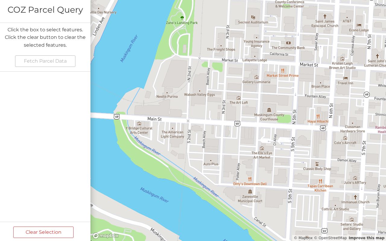
Selecting a parcel is the first step. The next step is confirming its property record, not assuming an outline represents a household.
County Parcel Fields for Zanesville Neighbors
The Muskingum County GIS Open Data Hub maintains digital tax maps, E911 addressing, utility inventory, and public maps/data. Its Parcel FeatureServer metadata includes PARCELNUM, PropertyID, LegalDescr, plat book/page, map number, block/section, location address, acreage, land use, ListedName, deed volume/page, conveyance date, consideration, values, and links to Auditor, Treasurer, Recorder, tax-map, and scan records. That is a practical crosswalk from a map polygon to a property-record trail.
The same metadata are not a residents layer. A listed name can be a title or tax-record field, and public geographic data do not establish who receives mail or lives there. The County Address feature data likewise provide address, municipality, ward, precinct, ZIP, and related geographic information, not a roster of people.
For a confirmed parcel’s deed or plat, use the Muskingum County Recorder public gateway and its Historical Indexes for the applicable era. A defined city permit, code, or enforcement record has a different route: submit a written request to Building and Code Enforcement with the address, date range, and file type. No verified public city permit index was found.
The county parcel-data source is shown in this local reference image.
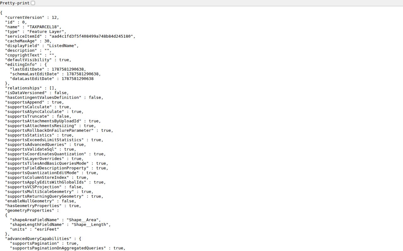
Parcel and legal-description fields make it possible to compare the correct properties before a Recorder search.
What Ohio Voter Lookup Cannot Show
Ohio My Voter Information requires first name, last name, and county. A Muskingum search can then lead to registration, precinct, and polling-location information for the named individual; the tool can ask for a street name to narrow a query after that. It is deliberately person-oriented. It does not present a normal public browse of everyone on a Zanesville block, and a no-match does not prove that a person is absent from the city.
For an official correction, precinct issue, historical election material, or defined public-record request, contact the Muskingum County Board of Elections at 627 Market Street, Zanesville, 740-455-7120. R.C. 3503.13 and related election law govern confidential fields. Safe at Home participant records cannot appear in the public lookup, and proof documents, protected identifiers, ballot choices, and private data must not be collected or inferred.
Ohio's voter data portal is shown in this image as a data and transparency resource.
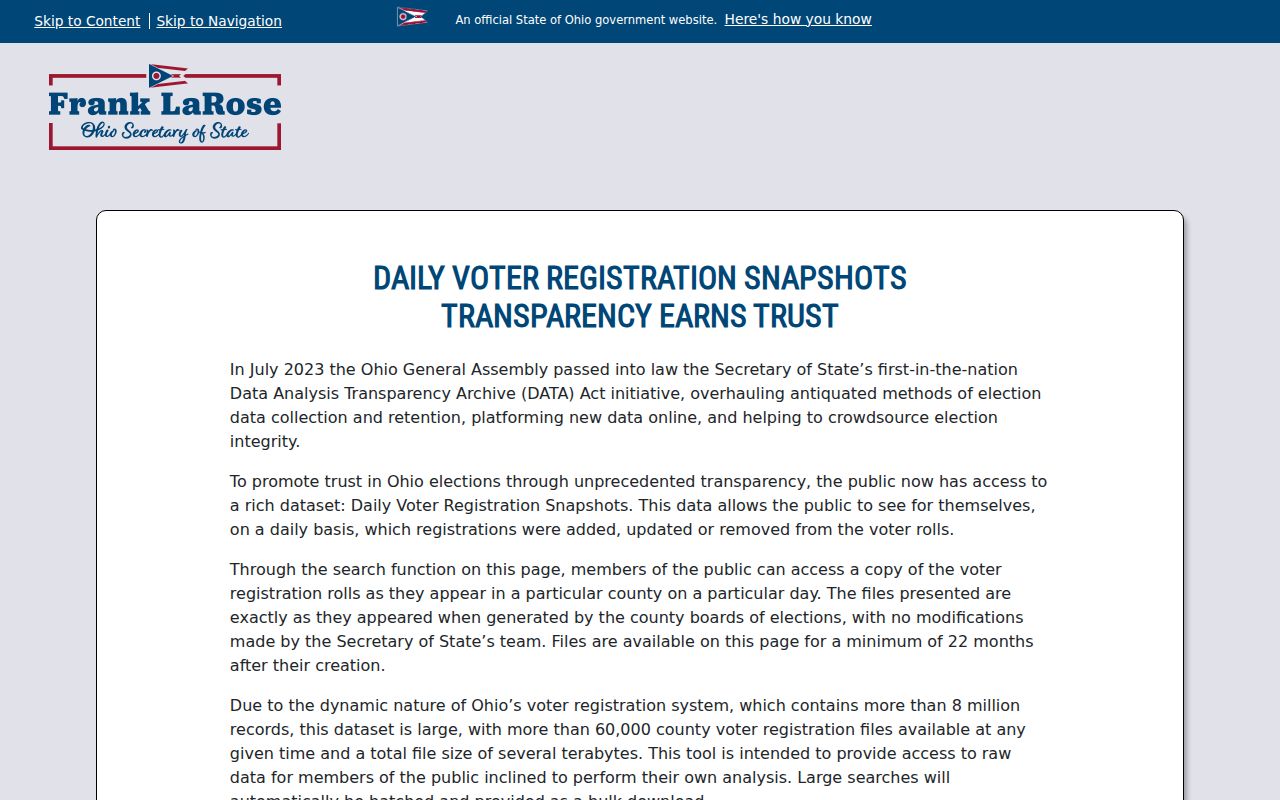
State dashboards and registration data are not permission to create a block-by-block people directory.
The Secretary of State elections route supplies the county-board directory and registration path.
Use the elections office for a defined civic question rather than treating voter information as a neighborhood roster.
Zanesville Community Development Contacts
City planning records recognize Putnam, McIntire Terrace, and Brighton-Dryden as historic-area clusters with distinct development periods. The documented public contact is the city office that works with community groups, not an invented association list. Community Development carries out neighborhood planning and supports the Planning Commission, Board of Zoning Appeals, Historic Preservation Board, and Downtown Design Review Board. City Council and the City Services Finder add a public ward and service route for an address.
Community Development
401 Market Street
740-617-4909
Neighborhood planning and public board support
City Staff Directory
401 Market Street
740-455-0601
Department and public-office routing
Engineering and GIS
401 Market Street
740-617-4910
City maps, services, wards, and historic context
Zanesville Community Development is the source for this neighborhood-planning image.
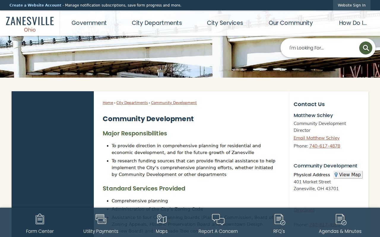
These contacts can explain public planning and city-service routes, but they do not provide a private association or household roster.
Zanesville Neighbors and Historic Areas
Putnam, McIntire Terrace, and Brighton-Dryden offer useful historical context when a parcel lies in or near one of those areas. Putnam is described as an approximately ten-block historic district across the river from downtown, with early and mid-nineteenth-century buildings, later infill, brick streets, and surviving streetcar rails. The city’s broader geographic history also includes annexations from Falls, Muskingum, and Washington townships and parts of North Zanesville. A Zanesville mailing label therefore does not settle city jurisdiction without a parcel or city-map check.
Census QuickFacts for Zanesville gives city-level community context, including the 2020 Census count and later estimate.
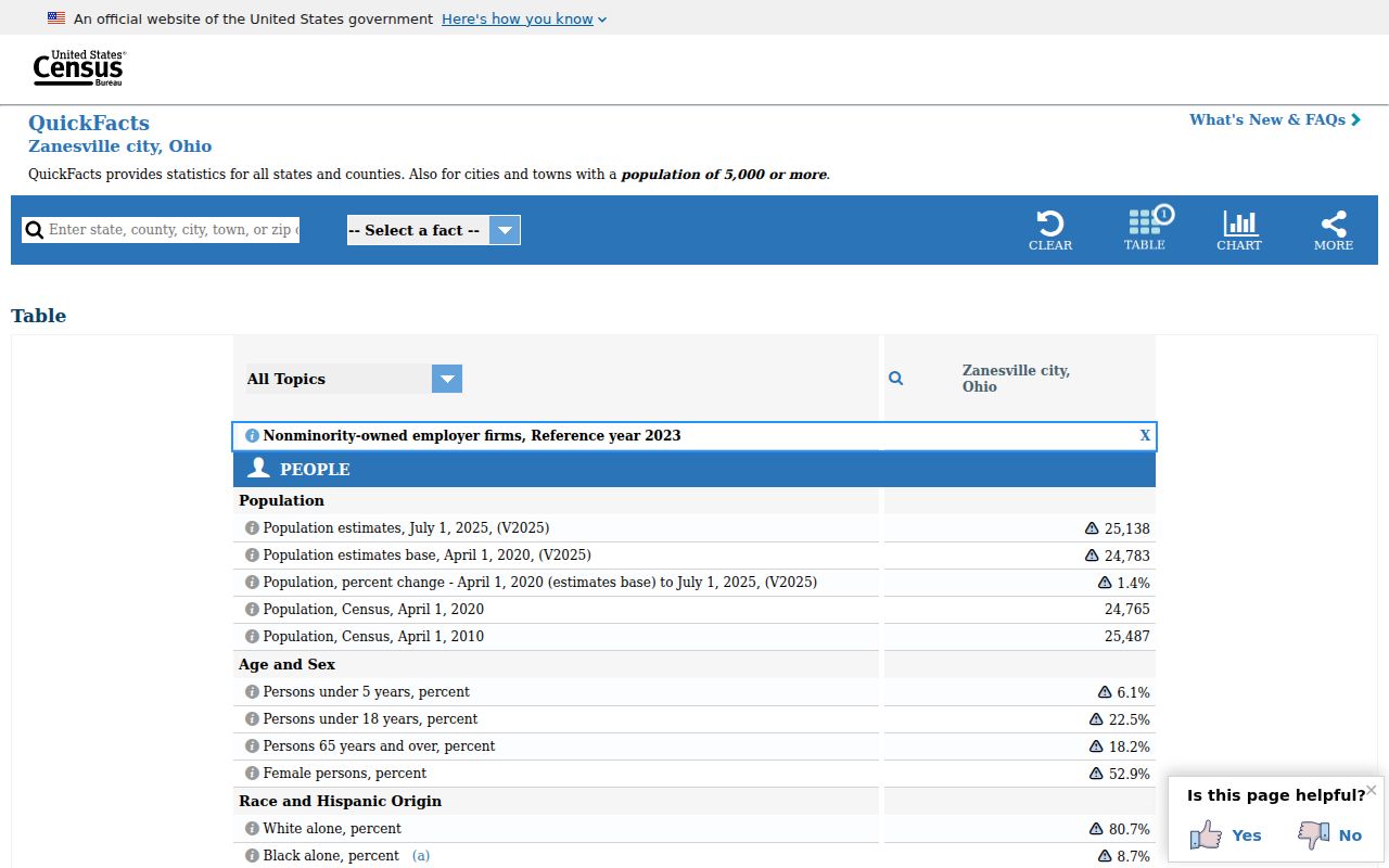
Citywide figures describe the community, not an individual block, parcel, or household.
Zanesville Neighbors: Official and Commercial Tools
Official sources identify their custodian, date, and record boundary. Commercial neighbor-search tools are a category of compiled products that can charge for access, combine stale records, merge people with the same name, and omit protected information. Their result is not a substitute for the Auditor, Recorder, Board of Elections, or a city office. Use the original custodian when a property, civic, or correction question needs an answer.
| Source category | Useful role | Limit to keep in mind |
|---|---|---|
| Official parcel and deed records | Confirm a parcel, legal description, owner lead, or recorded transfer | Owner or party is not every occupant. |
| City maps and offices | Check ward, zoning, service, historic, or planning context | Mapping is spatial context, not identity data. |
| Commercial compiled tools | General lead only, if lawfully used | May be stale, inaccurate, incomplete, or combine same-name records. |
Correction belongs with the underlying custodian. The Auditor has a mailing-address change form for property-record maintenance, while the Recorder, Board of Elections, court, or registrar handles its own record procedures.
Zanesville Neighbors and Privacy Boundaries
A parcel map does not publish renters, household members, utilities, delivery recipients, motor-vehicle information, visitors, or sealed court information. Ohio’s Public Records Act has exemptions, and records can require redaction. Safe at Home participants use a substitute address with confidential handling in voter-registration and absentee processes. Shielding Ohio Protectors also provides a residential-address-redaction process for eligible public-service workers and family members.
Privacy and lawful use. Use these records for property context, civic questions, family history, or personal safety awareness. Do not use parcel, map, or public-record information to monitor, threaten, harass, or harm anyone.
Ask the proper custodian for a narrowly defined existing record, accept lawful redaction, and do not replace withheld information with guesses from another source. R.C. 2903.211 and R.C. 2917.21 address stalking and telecommunications harassment. A public map does not remove those limits.