
Zanesville Previous Residents by Era
Records answer different parts of a house-history question. The Auditor gives a present parcel and the legal description that holds up when street numbers shift. The Recorder follows title, while directories, newspapers, and census records add the household layer. Match the source to the period, then check it against another dated record. A recorded owner can be an estate, trustee, or person living elsewhere, so ownership alone does not establish occupancy.
| Source | Years It Covers | Where Held | What It Shows |
|---|---|---|---|
| Recorder holdings | 1803 to present | Recorder, Historical Indexes, or office | Recorded title instruments; the online start changes by record class. |
| Recorder deed index | 1977 to present online | Recorder Public Access | Grantor-grantee deed chain; use historical indexes for earlier deeds. |
| Recorder plats | 1800 to present online | Recorder Public Access | Lot, subdivision, and street geometry rather than household names. |
| OGS directory holdings | 1851; 1890-91; selected 1916-2004 years | Ohio Genealogical Society Library | Listed names, addresses, and occupations that vary by edition. |
| Probate and census | Probate 1804 to present; released census years | Probate Court and approved census access | Estate transition or periodic household context, not an annual trail. |
Start with title when the question is who conveyed the parcel. Start with a dated directory or newspaper when the question is who lived here before. John McIntire Library can bridge gaps with its Family History Center and past local newspaper microfilm, while Probate requires an exact name and approximate date for staff research.
Begin Zanesville Previous Residents with a Parcel
The Muskingum County Auditor Real Estate Search accepts a parcel, owner, or address. Use the current street address first, then retain the parcel number and legal description returned for the correct property. A situs address is the physical location of the parcel. A mailing address, if shown, is correspondence information and can belong to an owner, estate, trustee, or manager. Neither one is a household list.
The Muskingum County Treasurer also offers parcel-number, owner-name, or address searching for tax context. That can help confirm that the same parcel is being followed, but a tax account is still property evidence, not a roster of past residents. Keep the legal description with each note because it connects the modern parcel to older deeds that may use a lot, tract, or subdivision reference instead of a street number.
The Treasurer property-search route is shown in this local house-history reference image.
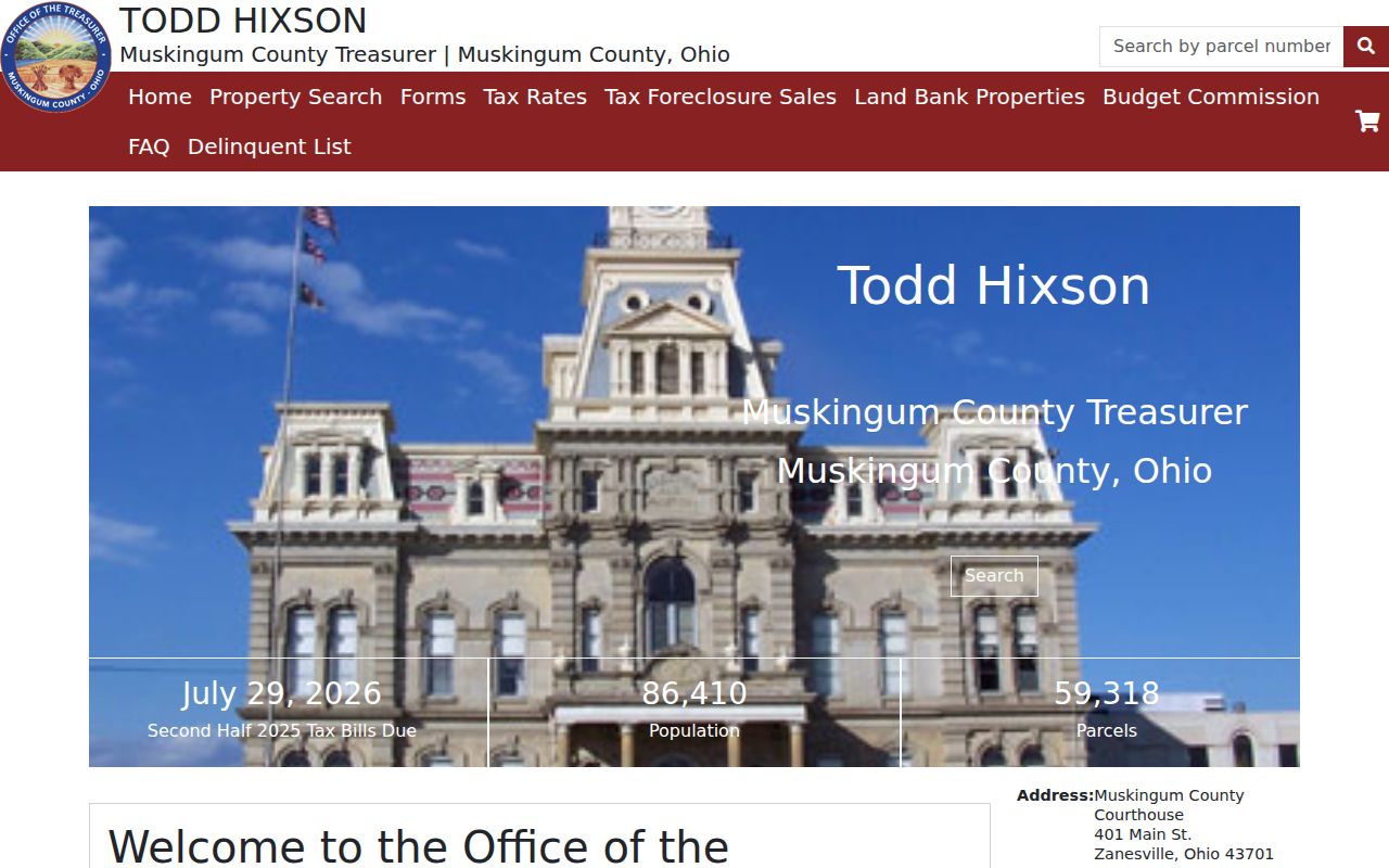
Use it to confirm the parcel trail before treating an owner name as a lead for deed research.
Note: Copy the parcel number and legal description before opening a Recorder result, since an older instrument may never state the modern house number.
Zanesville Previous Records: Deed Access
The Muskingum County Recorder says its holdings date to 1803, but its electronic index does not begin on one universal date. Deeds begin in 1977, mortgages in 1976, liens and miscellaneous records in 1975, leases in 1981, and plats in 1800. That division matters when an address history reaches an older sale. The Recorder expressly directs earlier material to its Historical Indexes rather than treating an online cutoff as proof that the record is gone.
Public Access requires acceptance of a disclaimer, is updated daily Monday through Friday, and is not a certified or authenticated record source. When an historical name chain stops online, the documented next route is the Historical Indexes tab, followed by a Recorder contact or visit at 401 Main Street, Zanesville. The office lists 740-455-7107 for that route. Certified-copy needs should go through the office rather than a screen capture.
The Recorder's official gateway illustrates the local index and historical-coverage source used for an address trail.
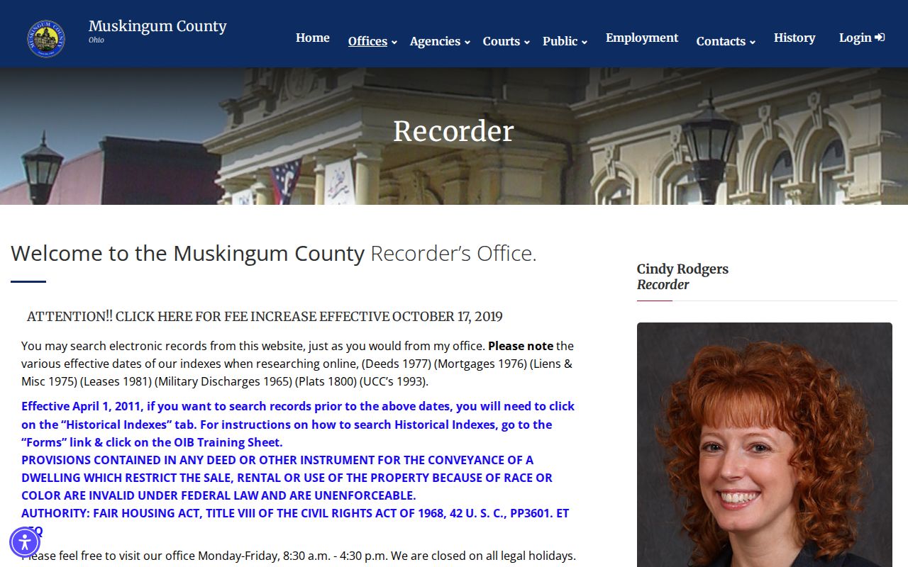
The important detail is the record class and era, not a broad assumption that every document is searchable from the same year.
Recorder Public Access is the name-index route linked by the county.
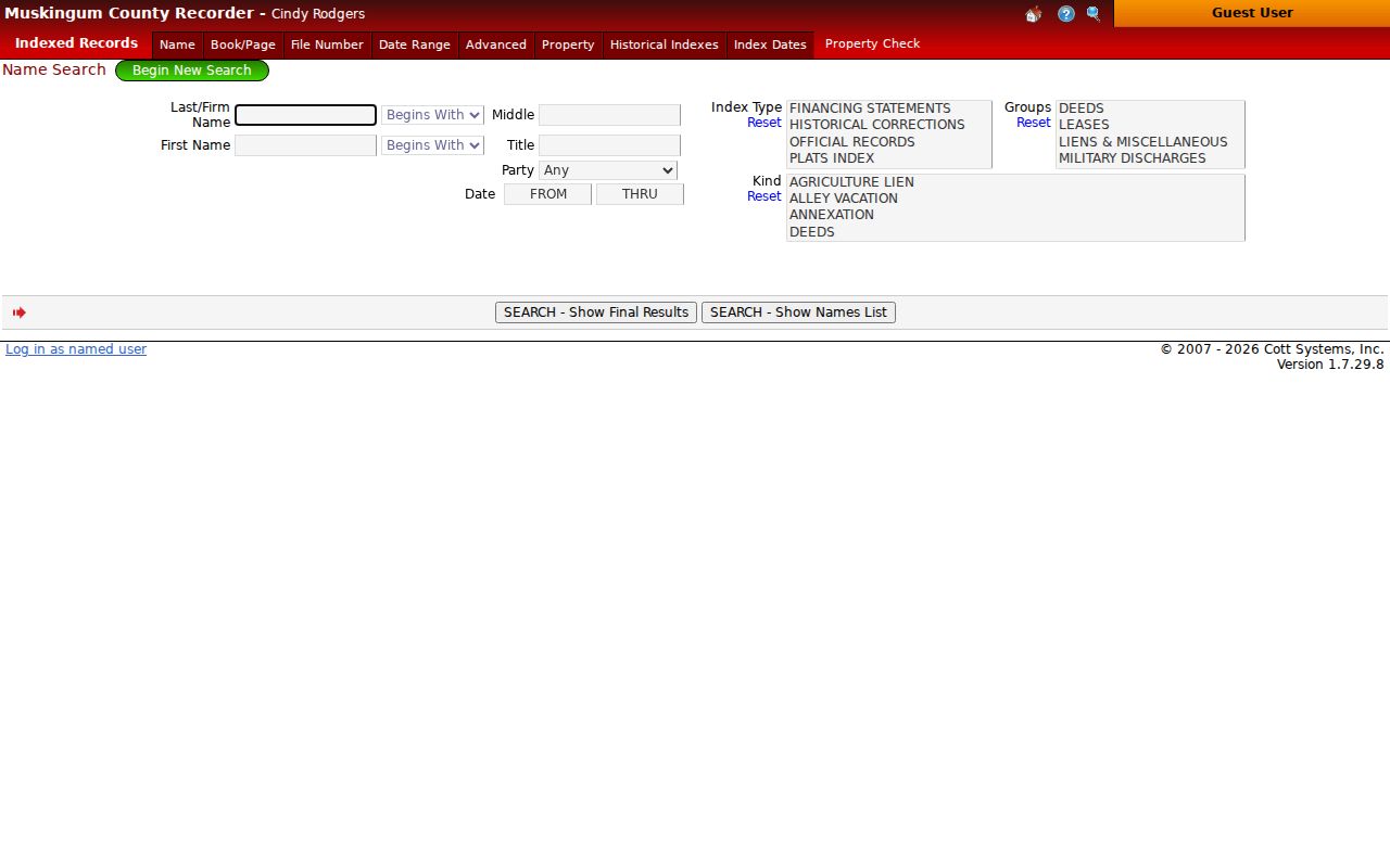
Use the public index as a lead, then confirm document details and any needed copy through the Recorder.
Trace Zanesville Past Owners Through Deeds
A chain of title is the sequence of recorded transfers for one parcel. It begins with today’s confirmed parcel, not a guessed historic address. In a purchase deed, the buyer is the grantee and the seller is the grantor. Find the current owner as grantee to locate that acquisition, note the seller and legal description, then look for the seller as grantee in the earlier purchase. That backwards pattern can expose prior owners, but it does not prove that each owner lived in the home.
- Search the Auditor with the address and save the parcel number, situs, and legal description for the matched property.
- Find the current recorded owner’s acquisition in the Recorder index as a grantee, and record the document reference, date, seller, and legal description.
- Search that seller as a grantee to find the earlier acquisition of the same legal description.
- Repeat the handoff from seller to earlier buyer, checking the legal description at every link instead of relying on a similar street name.
- When the relevant deed predates online deed coverage, use Historical Indexes or ask the Recorder for the proper in-office research route.
- Grantor
- The party conveying an interest in a recorded document, often the seller in a deed.
- Grantee
- The party receiving that interest, often the buyer whose earlier acquisition leads further back.
- Chain of title
- The dated sequence of recorded conveyances tied to the same land.
- Legal description
- The lot, tract, subdivision, or other land description in recorded documents. It can outlast a street-number change.
Zanesville Address Records and Old Maps
Street wording can change while the land stays the same. The Recorder keeps plats, street-name changes, alley or street vacations, annexations, centerline surveys, and zoning-map materials that can help explain an address mismatch. The city also links its GIS Applications and Maps, including a Historic Map Viewer. Historic map context is useful for testing whether a street, lot, or nearby landmark changed before a name search begins. It is not a substitute for the recorded plat, survey, or deed.
Zanesville’s historic GIS has layers for 1832 and 1852 Muskingum County, 1910 and 1960 USGS, a 1928 street map, a 1956 parcel map, downtown around 1983, imagery around 1994, 2004 wards, and 2011-2025 imagery. Those layers provide a rare local way to compare place over time. Historic court records also identify Center Street as now Elberon and North Street as now Shinnick, so an old reference deserves translation and confirmation instead of a forced match.
For a dated construction, demolition, inspection, condemnation, or enforcement clue, use Zanesville Building and Code Enforcement. No verified public online permit or code-case index was located. The documented fallback is a written public-record request that identifies the address, date range, and file type, with inspection or copy preference. The office is at 401 Market Street, Room 227, and lists 740-617-4890.
A John McIntire Library house-history research listing provides a local reference point for turning an address into a documented history.
Library and map work can resolve a street or lot question before it is joined to a past household name.
Zanesville Previous Residents in Directories
Title tells only one part of a past-residents story. The Ohio Genealogical Society holdings list identifies Zanesville editions for 1851, 1890-91, 1916, selected years from 1926 through 1942, and selected years through 2004. These are real holdings with gaps, not a promise of a volume for every year. A person directory is normally organized by name; a criss-cross or reverse directory is organized by street number and street when the particular edition exists. Either source needs its title, edition, and printed date preserved.
John McIntire Library, at 220 North Fifth Street, has a second-level Family History Center and past local newspapers on microfilm. Call 740-453-0391 or use the catalog before visiting to ask about the exact volume, phone book, reverse directory, obituary index, yearbook, or newspaper run. The deeper collection details belong with the Zanesville city directories, while a backward address trail uses only the editions needed to date a household at one property.
Ohio History Connection's historical death index is another dated research lead when a directory trail ends.
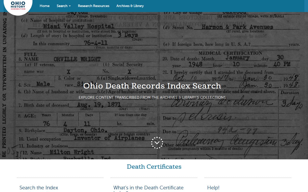
A death-index result is informational rather than a certified record and should be compared with the date and source of a local notice or court file.
Pair Zanesville Directories with Census Years
Use a directory address as a dated observation, then pair it with the closest released federal census rather than assuming that every printed name was present all year. The federal decennial census follows a 72-year public release practice. A census may show a household at one point, while an available directory can help bracket a move before or after that enumeration. Names, spelling, occupation, and street number should all be copied exactly before joining entries.
Directory name and address → nearby released census → another available directory year → newspaper or cemetery date → Probate estate or marriage request when an exact name and approximate date are known.
A reverse directory can test an address-to-name match if the library actually holds that edition. Newspaper microfilm can connect a final listing to an obituary, and Probate may then provide estate, will, marriage, early vital, or naturalization context. None of those steps turn a historical listing into a current resident claim.
Note: Retain the edition year, census year, publication date, and parcel description together so each connection can be checked later.
Zanesville Past Residents at Trail Endpoints
When a name vanishes from an address trail, a newspaper notice, cemetery record, or estate file can explain the break. John McIntire’s past-local-newspaper microfilm is the local starting point for an obituary or address/date check. Greenwood began in 1835 and was renamed from City Cemetery in 1885; Woodlawn is the city’s southern cemetery. Cemetery/Parks can be reached at 740-455-0637 for burial, lot, map, or office-record availability.
Muskingum Probate holds marriages, wills, and estates from 1804 to the present and births/deaths from 1867 to 1908. Probate staff require an exact name and approximate date, which makes a narrow request more useful after a directory or newspaper has supplied a time frame. A death, estate, or burial event can explain a household change without proving residence on any later date.
Zanesville's municipal cemetery information is the source for this cemetery research image.
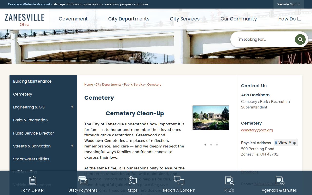
Cemetery office records and a dated notice are supporting clues, not replacements for a recorded land or court document.
The 1869 Zanesville Records Index Story
Older research in Muskingum County has a local explanation. County commissioners hired J. J. Ingles in 1869 to index more than 80,000 deeds. That work shows why historic title research is possible even where a modern screen does not cover the needed era. It also supports the practical rule behind a prior-resident search: when an electronic result ends, ask about the historical index instead of treating the missing screen result as the end of the record.
The Recorder’s 1803 holdings statement and the county’s 1804 organization date should both be retained as the offices state them. A second-floor fire and water event in courthouse history is not proof that every older record was lost. Verify the needed volume with its custodian, and use the legal description to hold the chain together through a map or name change.
Zanesville Previous Residents and Lawful Use
House history, family history, estate research, and civic curiosity are appropriate reasons to compare historic records. Ohio’s Public Records Act, R.C. 149.43, provides access to existing public records, but records may be redacted and an office need not create a new record or locate a person. Safe at Home information, sealed matters, protected identifiers, and other confidential information remain outside a routine address trail.
Lawful use. Use records for a documented house or family history. Do not use names, maps, or records to track, threaten, harass, or harm any living person.
Ownership, directory, and census evidence each have limits. Label what the source actually says, keep the dates attached, and ask the Recorder, Probate Court, library, or city office for the next proper record instead of filling a gap with a guess.